


Environment Canada meteorologist Shannon Moodie says it might not be over yet. She says Saskatchewan can expect another shot of storms today, after a very active night in the province, with a risk area over southeast Saskatchewan, which will move into Manitoba.
However, she does note that we are in a pretty unsettled pattern and advises residents to keep an eye for watches and warnings.
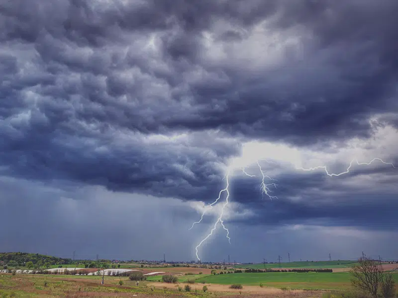
Storms that moved through Saskatchewan yesterday evening and overnight were slow moving with many of the rainfall accumulations taking place over 3 to 4 hours.
Moodie says the line of storms that went through Saskatchewan yesterday brought pea and quarter sized hail to the Tugaske area and golf ball sized hail at Parkbeg.
Some of the highest rainfall amounts were in Last Mountain at 32.4 millimetres and Watrous with 33.2 millimetres of rain.
Saskatoon, at the airport, recorded 9.4 millimetres of rain, and Regina recorded 5.4 millimetres of rain. And in Regina she says the storms were concentrated mainly in the east of the city so the rainfall total would not be representative of the highest amounts because they don’t have a reporting station there.