")
It’s big and it’s complicated.
That’s Environment Canada meteorologist Terri Lang’s description of an Alberta Clipper making its way into Saskatchewan tomorrow afternoon (Wed).
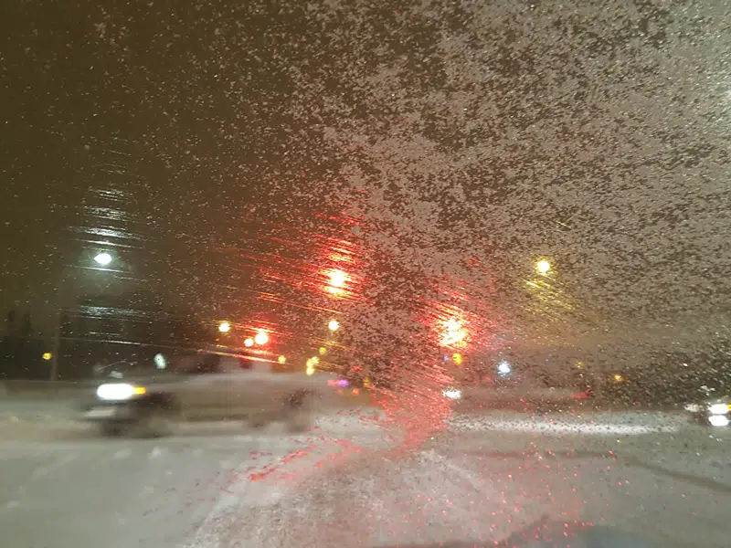
All but the far north will experience everything from freezing rain to snow to blowing snow to strong winds, which will make for hazardous road conditions.
Lang says ahead of the weather system the temperature will be even milder than we have experienced.
Then, tomorrow afternoon the wind will switch to the northwest.
The temperature will drop and the wind will increase to gusts of up to 90 km/h.
That’s also when the snow begins and will continue through the evening.
The wind will be at its strongest late tomorrow night and then still windy with blowing snow on Thursday morning.
Lang says the weather has been so nice through December and early January so we may be lulled into a sense of complacency.
She urges anyone heading out on the highways late Wednesday or Thursday to check the Highway Hotline which you can access under the news tab on this website.
How we experience this weather system will depend on where you are in the province.
Lang says in the Southwest there won’t be a lot of snow but really strong winds.
Further north in the La Ronge, Pelican Narrows and Hudson Bay areas there will be freezing rain to start, then heavy snow but because of the tree cover, it won’t be as windy unless you are out in the open.
The Southeast will see quite a bit of wind and some snow causing blizzard to near blizzard conditions on Thursday.
In the Saskatoon area, Lang expects the worst will likely occur Wednesday afternoon and evening, with the temperature dropping, strong winds and snow, then still windy with blowing snow on Thursday morning.
There won’t be a large amount of snow, but isolated areas could see 5 to 10 centimetres.