




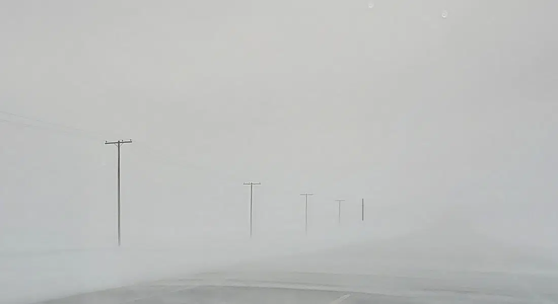
There are a multitude of special weather statements, winter storm warnings and fog advisories impacting about two thirds of the province this morning.
Dave Carlsen, a Meteorologist with Environment Canada, says there are fog advisories in effect that impact quite a lot of southern Saskatchewan. He says that includes Saskatoon down to Regina and all the way to the U.S. border.
He says those areas affected by fog should be clear of it by noon but it is creating extremely reduced visibilities this morning.
Meanwhile, there is a low pressure system moving into the prairies tonight from B.C. which has generated special weather statements because of wind and winter storm warnings due to expected snowfall.
Dave Carlsen says to the south of the low pressure system moving in from B.C. there will be a whole lot of wind and some precipitation. North of the low pressure system, there will be some wind but a lot of precipitation.
“Draw a line from, say, Kindersley down to Regina, anywhere south of that line is going to have some pretty serious winds. We’re talking wind gusts in excess of 90 kilometres an hour and maybe even a 100 if you get close to the U.S. Border. Around about Saskatoon, still going to be pretty windy looking around 70 or 80 kilometre an hour wind gusts.”
The winter storm warnings stretch from Hudson Bay west to Meadow Lake but Carlsen says Meadow Lake is definitely in the cross hairs of the storm with 25 to 30 centimetres of snow expected.