




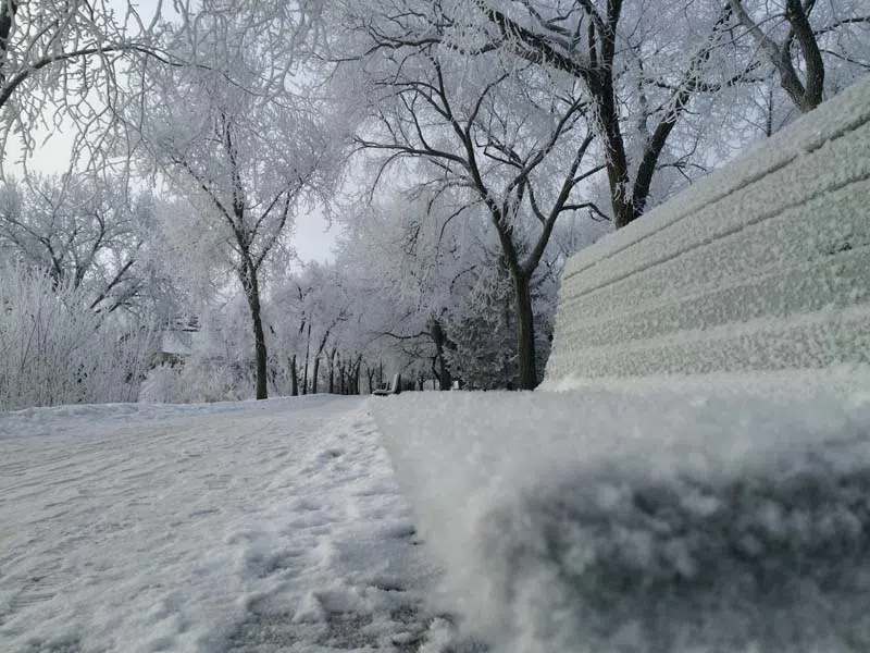
It’s not unusual for frigid temperatures and snow in January. Environment Canada meteorologist, Terri Lang, expects we may all have just been spoiled by a milder fall, so it took us by surprise. She says all of southern and central Saskatchewan have experienced snowfall since Sunday, and the heaviest amounts seem to be from Highway 16 and northward up to around the Prince Albert area. There is no official snowfall measurement, but Lang expects there will be between 10 and 15 centimetres in the hardest hit areas once the system has made its way through the province.
Following the snow, the Arctic air is coming back, which will bring in colder temperatures. Lang says there will be extreme cold warnings this week, and the most bracing temperatures will be early Thursday morning. Following that, the forecast is for more seasonal weather next week, thanks to a shift in the jet stream.