




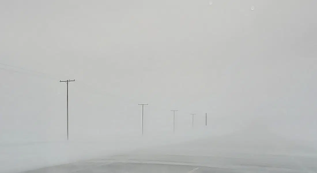
Blizzard warnings are in effect for southeastern Saskatchewan, including Weyburn, Estevan and Carlyle stretching northwest to Fort Qu’appelle, Regina and Lumsden, but areas on the either side are under a snowfall warning. That includes from Pense west to the Alberta border and south to the international border as well as on the eastern side of the province around Moosomin and Grenfell.
Those under snowfall warnings could see 10 to 20 centimetres while the areas impacted by a blizzard warning could get 15 to 25 centimetres combined with Southeast winds gusting to 70 kilometres an hour causing whiteout conditions at times. The snow is expected tapering off west to east beginning tonight (Fri) and into Saturday.
Environment Canada meteorologist Janelle Gurgley says the strongest winds will be in the Southeast at 70 to 80 km/h, and that combined with heavy snow will mean reduced visibility on the roads. It will taper off overnight and into Saturday as the winds die down.
Southeast Saskatchewan could receive between 15 and 25 centimetres of snow. Other regions in southwest and south-central areas of the province are forecast to get about 10 to 20 centimetres of snow with winds gusting up to 50 km/h. Central Saskatchewan is in the north end of the storm with snow in the five to ten centimetre range.
There is also a blowing snow advisory for the Kindersley, Rosetown and Biggar areas. Poor visibility from snow and blowing snow is occurring and should ease later tonight. Blowing snow advisories are issued when winds are expected to create blowing snow giving poor visibility to 800 metres or less for at least three hours.