




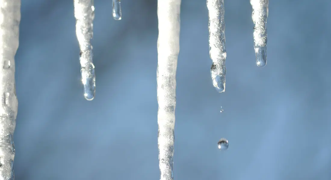
Most Saskatchewan people aren’t that happy about the winter scenes from the storm which makes it look more like January than April, but the biggest difference is unlike mid-winter, that snow won’t last long. Environment Canada meteorologist Terri Long says it will be colder than normal for this time of the year on the weekend, but there will be sun and that will help with a snow melt. She notes that if it were to warm up too quickly, that could mean flooding in some areas, so a slower melt is better.
Next week, the temperature are expected to warm up, more so in the west than the east. By mid-week, temperatures will be around average for this time of year and Lang says the long range forecast is for some very warm air by next weekend, which means above average temperatures on the way.
Lang explains that measuring the precipitation from the spring storm is challenging because it’s rain mixed with snow, and when there is also wind, the gauges don’t always catch the snow, so accuracy can be an issue. She expects that is what happened at their gauge at the Saskatoon Airport, so her best guess is in the 8 to 15 cm range for snow and the water equivalent of about 10 mm or so. Weyburn and area was the hardest hit with 40 to 50 cm of snow. Regina had 20 to 25 cm.