")
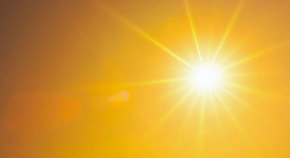
After some extreme heat last week temperatures have now settled down, but some more heat is just around the corner. Environment Canada Meteorologist Natalie Hasell says, “So you are about to see a return of the surface ridge and the upper-level ridge.”
Those ridges will result in the return of heat, potentially back up to warning criteria.
“The stuff that brought you the heat last week is kind of reemerging or redeveloping into the prairies so we might have a few showery times between now and the really hot stuff that’s supposed to happen maybe by the weekend, but generally speaking, we’re talking about, not a lot of precipitation after today. Then these warmer and warmer conditions coming up, by the time we get to the weekend, we could see warning criteria.”
With those showers coming in there is a possibility of high energy thunderstorms developing.
“Considering everything that’s happened up to now, I would not be surprised to see thunderstorms kind of as a risk at least later this week.
With a return to heat by the end of the week Hasell says that families will still have to practice safe heat practices.
“All those precautions that you took last week will probably have to be taken again at this point. We’re not thinking that the heat will be quite as bad as it was last week, but I also don’t want to say that with any firm decisiveness because some models are suggesting that the temperatures could be really quite hot. So it’s important for people to keep paying attention.”
Hasell says that people should also keep an eye out for any smoke, with a chance of that appearing this week.
(files sourced from DiscoverEstevan.com)