




There is a risk of freezing rain ahead of a low pressure system moving into southern Saskatchewan on a line from North Battleford southeast to Estevan Monday afternoon into Monday evening.
The system itself will bring a mix of winter weather to impact the province Monday night. Environment Canada says the most severe concern with this system is the potential for blizzard conditions Monday night into early Tuesday.
Snowfall begins Sunday night ahead of the system and continues with between five and 10 centimetres falling by Tuesday morning from Meadow Lake and North Battleford southeast to Estevan.
Higher snowfall amounts are possible, as much as 10 centimetres, along the Manitoba border from Hudson Bay south to Yorkton.
Blizzard conditions are possible with the addition of northwesterly wind gusts of 70 km/h Monday night overnight into early Tuesday for much of southern Saskatchewan. The strongest winds, of 90 km/h are possible with the cold front in southwest Saskatchewan, along the U-S border.
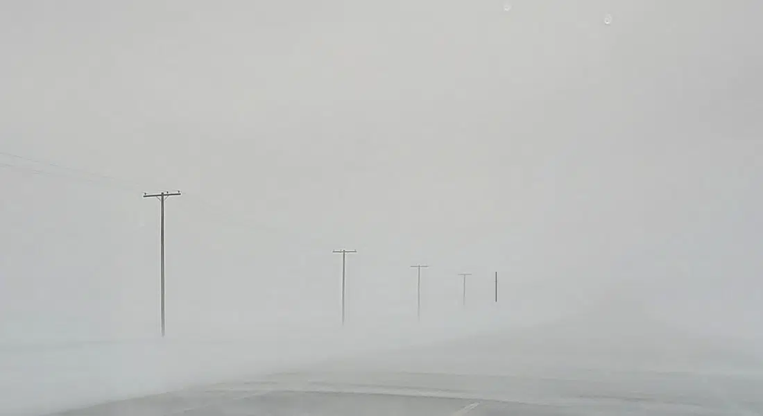
The combined snowfall and strong winds may reduce visibilities to potentially blizzard conditions of less than 800 m for 4 hours Monday evening closer to the Alberta border and into Tuesday morning closer to the Manitoba border.
So there could be freezing rain, then snow, the wind, and finally a cold front Monday night with temperatures falling from above zero to near -15 degrees Celsius.
Once the low pressure system moves on, an arctic ridge of high pressure will move in likely bringing extreme cold wind chill values Tuesday night.