




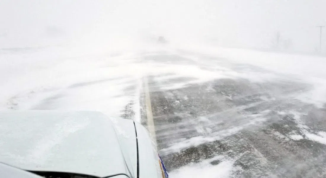
An Alberta Clipper will wreak havoc in Saskatchewan over the next few days with snow, strong winds and then an abrupt turn to colder weather. Environment Canada meteorologist Teri Lang says there is the potential for blizzard conditions in Central and Southern Saskatchewan, moving from West to East. It will begin tonight in the West and move East overnight.
Five to 10 centimetres of snow is expected by Tuesday morning over the northern grainbelt, with up to 20 centimetres along the Manitoba border from Hudson Bay south to Kamsack. In Saskatoon and area, the forecast is for five to eight centimetres of snow beginning late this afternoon. Lang notes that it’s not that much snow, but it will be really windy, particularly after midnight, meaning blowing and drifting snow on the roads. Following that, Tuesday night into Wednesday, the forecast is for a quick dive into colder temperatures around the minus 30 mark.
Lang urges drivers to be aware of the conditions and check the Highway Hotline before heading out.